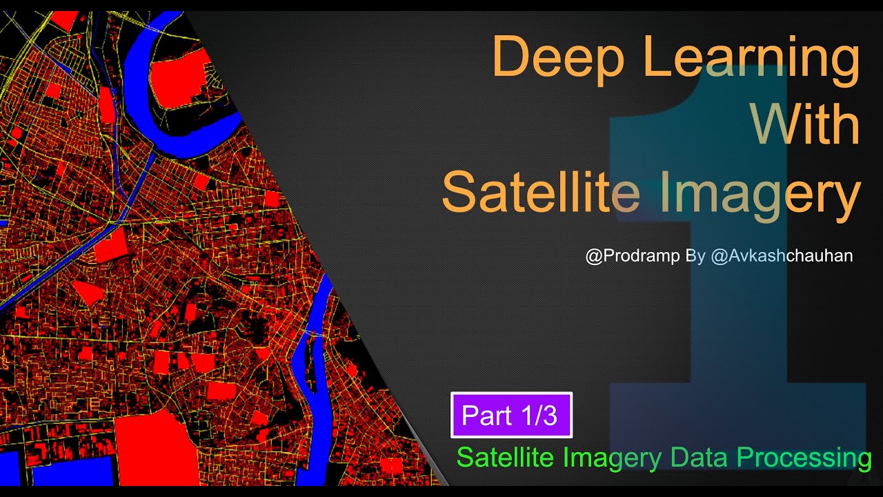
If your interested into deep learning for the satellite images, this full hands-on coding workshop is best resources for you. The full workshop is divided into following 3 parts:
1. Data Processing for the Satellite Imagery
– Data Preparation
– Satellite Data Processing
2. Deep Learning with Satellite Image Data
– Deep Learning Model Training
– Local Debugging
– Prediction with model performance
3. Advance Deep Learning with Satellite Image Data
– Remote debugging with Weights & Biases
– Model Saving and Reloading with custom metrics and loss function
– Activation/Gradients outputs with heatmap,
– Model Deployment application and Model Serving app on Hugging Face
GitHub Resources:
– https://github.com/prodramp/DeepWorks/tree/main/DL-SatelliteImagery
▬▬▬▬▬▬ ⏰ TUTORIAL TIME STAMPS ⏰ ▬▬▬▬▬▬
– (00:00) What is it?
– (01:45) All 3 Parts Intro
– (05:05) Satellite Data Fundamentals
– (14:05) Satellite Data Processing in Python
– (24:05) Processing Images
– (33:40) Patchify Images
– (39:10) Normalizing Images
– (45:00) Processing Mask Images
– (51:35) Rendering Images
– (57:00) Processing Labels
– (1:04:04) Creating RGB2Label Func
– (1:14:30) Creating Training and Test Data
– (1:20:05) Source Code at GitHub
Connect
——————
– Prodramp By Avkash (@prodramp)
– Website – https://prodramp.com
– LinkedIn – https://www.linkedin.com/company/prodramp
– GitHub- https://github.com/prodramp/
– AngelList – https://angel.co/company/prodramp
– Facebook – https://www.facebook.com/Prodramp
Content Creator: Avkash Chauhan (@avkashchauhan)
– https://www.linkedin.com/in/avkashchauhan
– https://twitter.com/avkashchauhan
Tags:
#tensorflow #satelliteimagery #deeplearning #keras #prodramp #avkashchauhan
source